|
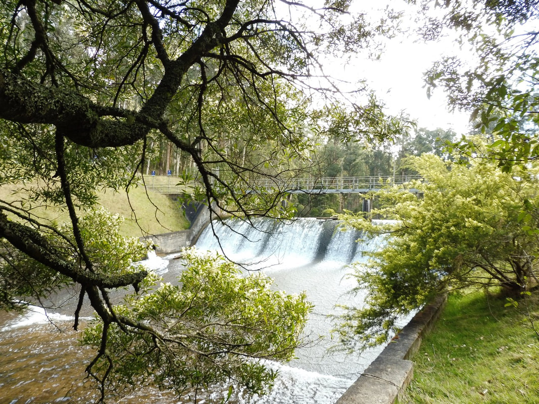
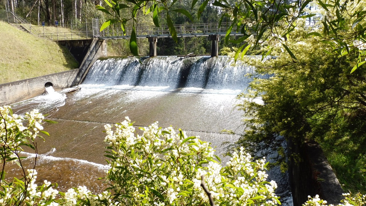
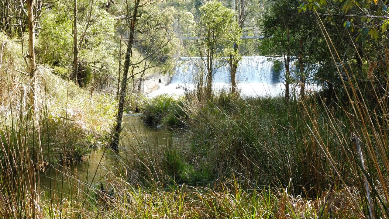
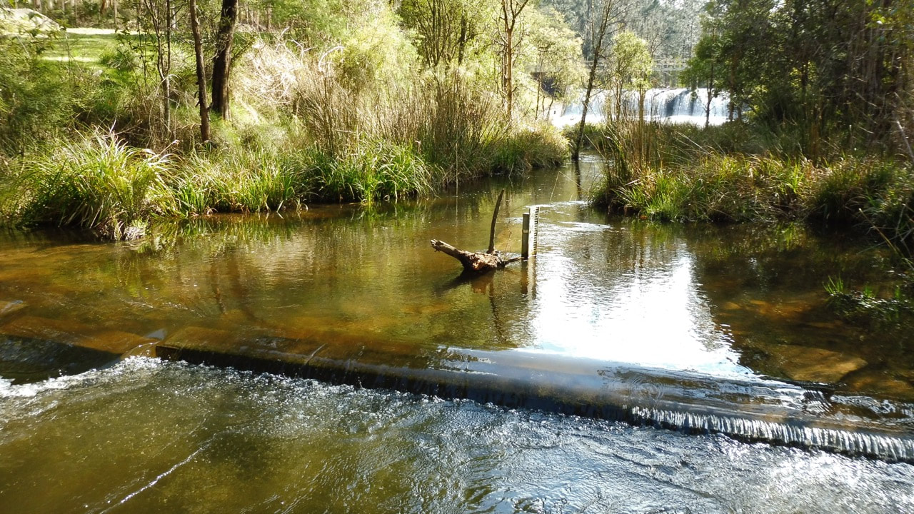
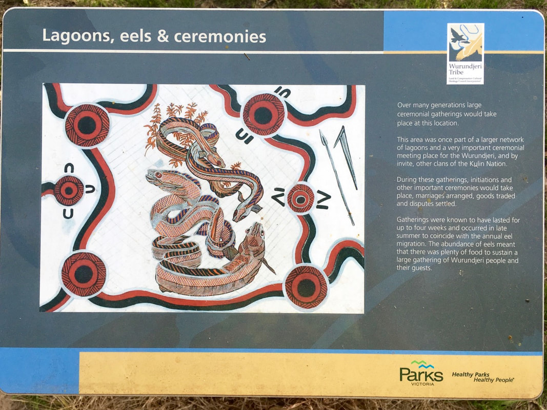
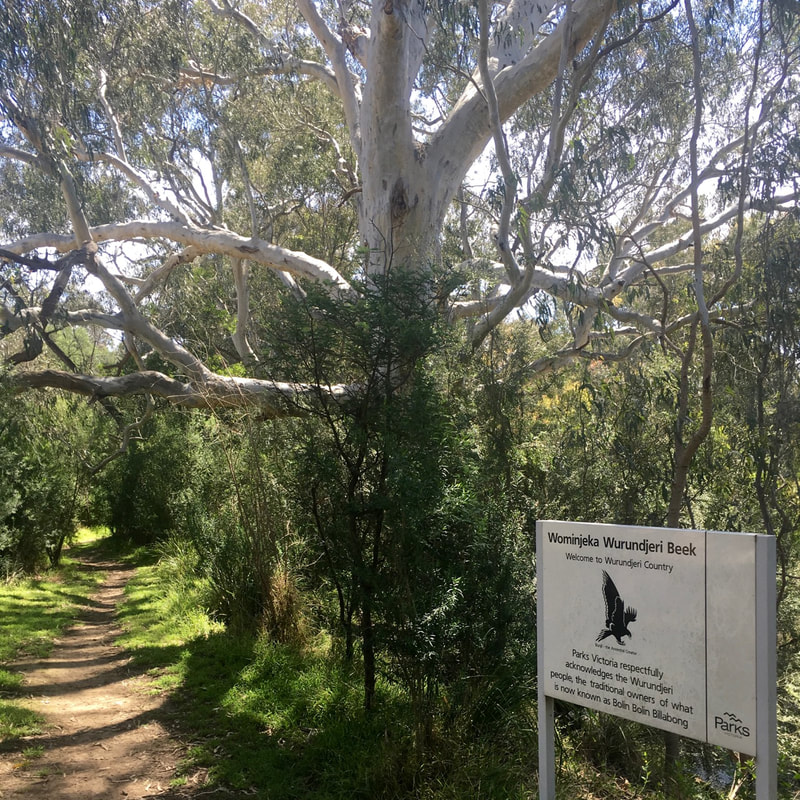
This is a large post that tells a story of the Yarra's mountain waters, too often taken for granted. Today we hold back the water for Melbourne's millions however in pre settlement days these waters recharged numerous wetlands to provide a seasonal abundance not imagined in Victoria's landscapes of today. A visit to Kakadu in the late dry season can help open our minds up to the 1835 river and her wetland abundance. Hence at the end of the post i refer to Bolin Bolin Billabong near Heidelberg - in 1835 and for millennia prior - one of the Yarra's great markets, abundant eel, fish, turtle, waterfowl, and plant foods for a great gathering of the Kulin Nation hosted on Wurundjeri land. We are on a journey starting in the mountains in late winter or spring with the wattles of the Upper Yarra and ending down the river valley below Yarra Glen, below Eltham and Warrandyte on the river flats at Bolin Bolin for an autumn feast. Each spring our mountain forests refill numerous reservoirs for Melbourne like Armstrong Reservoir shown above. This small dam is upstream of Warburton near the Upper Yarra Dam with it's headwaters at Lake Mountain and Cambarville , the photos show water spilling over the Armstrong weir and on toward our Yarra in September 2015. Pristine water like this supplies 1.7 Million Melbourne homes. If you live in the Melbourne region and drink tapwater you have a profound connection to these mountain forests, it is this very water charging through our bloodstreams as each of us is 60 to 70 % water, whether realised or not - we are connected. This water is Melbourne’s lifeblood. #Homeoftheyarra #RespectforCountry a drive from Healesville to Upper Yarra dam - via warburtonLarge areas of the Yarra’s upper catchment are dedicated to water harvesting for thirsty Melbourne, by driving from Healesville to the Upper Yarra dam and looking into the mountain forests one has views of several Yarra tributary forested catchments, not just the catchments for the obvious two large dams – Maroondah and Upper Yarra. This is truly a giant world class water harvesting landscape almost unparalleled anywhere in the world, and amazingly most of these catchments have been protected for over one hundred years. From Healesville looking north is Donnelly’s Weir below Mt St Leonard , then to the northeast mountains like Monda, Juliet and Donna Buang provide catchment flows into Maroondah dam, Grace Burn and Coranderrk Creek weirs, then driving on past Warburton to the left of the car are mountain catchments for O’Shannassy River, on the right is Starvation Creek and McMahon’s Creek near the Reefton pub, and further up the Yarra valley to the left is Armstrong Creek (photos above), hence the drive after Warburton an additional high yielding dam and three weirs divert waters to Melbourne, and this before the car reaches Upper Yarra Dam. Mount Baw Baw's montane forest supplements additional water for Melbourne via the very large Thomson dam. Seek the source of your waters and visit the forests of the *Yarra Ranges. A great example of your mountain waters can be experienced at the Donna Buang Rainforest gallery, just 20 mins drive from Warburton. A fantastic walk with giant forest trees towering above the boardwalk and the white noise of water can be deafening, even in drought years water flows here. Although not ‘closed catchment’ like much of Melbourne Water’s managed catchments the Rainforest Gallery is an easy way to see pristine mountain waters (the stream is Cement Creek which flows into the Yarra upstream of Warburton). * More broadly the Yarra Ranges are part of the Central Highlands, other than Mount Baw Baw, Lake Mountain and Mount Torbreck, they are to the west of the Victorian Alps & generally not alpine in altitude and contain extensive montane forested catchments - the source for significant Victorian rivers like the Goulburn, Thomson and Latrobe. Mountain water flowing in the Upper yarra - Millgrove O'Shannassy reservoir's Daily inflows - |
AuthorDon Butcher has worked in most Australian states as an outdoor educator, bushwalking guide, and national park interpretation ranger and is known to have fallen in love with several such landscapes. ArchivesCategories |


 RSS Feed